As you plan your next outdoor adventure, consider the Pink Beds Loop in Pisgah National Forest, a haven for you and your dog.
This trail offers lush, flat terrain that’s easy on the paws and features an array of streams and diverse ecosystems that will intrigue your canine companion.
Following the six-foot leash rule guarantees everyone’s safety, including the local wildlife you will encounter. But there’s more to this trail than just a walk in the woods. How does this path cater to the entire family, and what should you prepare for a day out?
Key Takeaways
- Dogs must always be leashed on the Pink Beds Loop Trail, with leashes no longer than six feet.
- The trail is popular among pet owners, offering diverse ecosystems and streams for dogs to enjoy.
- Adherence to leash rules ensures safety for all trail users and helps preserve the local wildlife.
- The trail is accessible year-round, but the best time for visiting with dogs is from March to November.
- The Pink Beds Loop Trail is well-regarded for its natural beauty, making it a great location for dog-friendly hiking.
Trail Overview

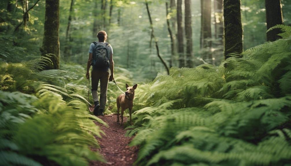
The Pink Beds Loop Trail, stretching 8.2 km with a gentle elevation gain of 105 m, offers a moderate hiking experience in the scenic Pisgah National Forest. This loop is perfect for a day’s adventure with your furry friend, as it’s dog-friendly and packed with natural beauty and diverse landscapes.
As you begin on this trail, you’ll traverse through lush forested areas and across well-maintained footbridges that help navigate the occasional muddy or flooded sections.
The trail is popular among hikers, mountain bikers, and runners, so you’ll want to keep your dog leashed to ensure everyone’s enjoyment.
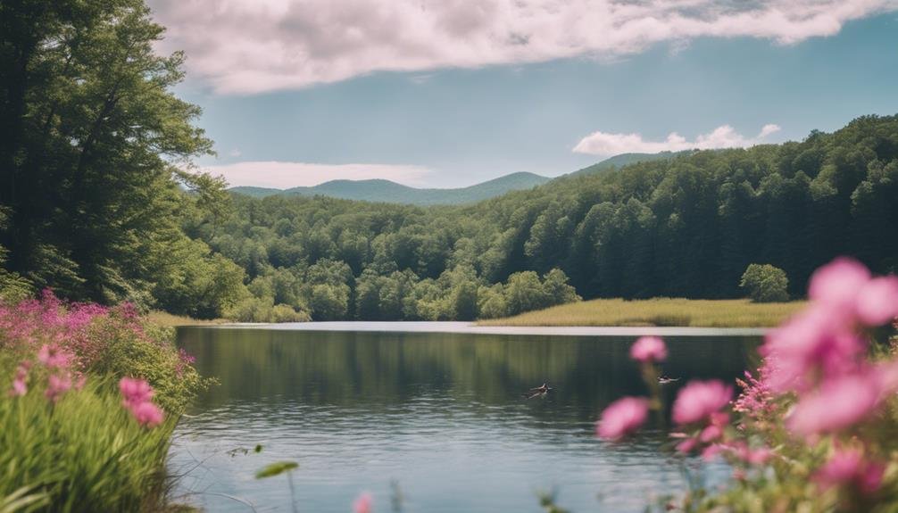
The path winds around a picturesque stream bed, offering cool, serene spots to pause and perhaps splash in the water. March through November is the best time to visit when the trail is most accessible, and the forest bursts with life.
Whether you’re a seasoned hiker or looking for a pleasant day hike, the Pink Beds Loop provides a delightful setting to connect with nature and spend quality time outdoors with your dog. Its moderate difficulty makes it accessible enough for most fitness levels, guaranteeing a rewarding experience for all.
Dog Policies
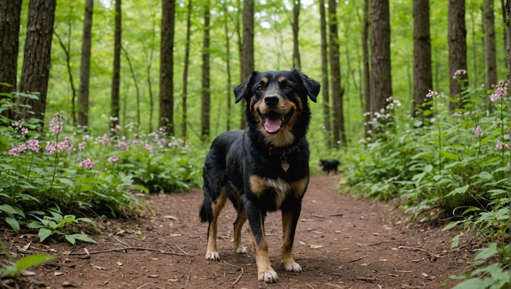
While exploring the Pink Beds Loop Trail with your dog, it’s important to keep them leashed at all times to guarantee everyone’s safety and enjoyment.
This rule helps maintain a harmonious balance between nature lovers and the wildlife that calls Pisgah National Forest home. The leash requirement isn’t just a recommendation—ensuring your furry friend and other trail users have a positive experience is essential.
The Pink Beds Loop Trail is renowned for being particularly dog-friendly, attracting numerous pet owners who appreciate the inclusive atmosphere. Your dog will love exploring the diverse ecosystems and cool off in the refreshing streams along the path.
However, it is important to keep them under control and on a leash that is not longer than six feet. This ensures they don’t disturb the local wildlife or other hikers.
Camping Information
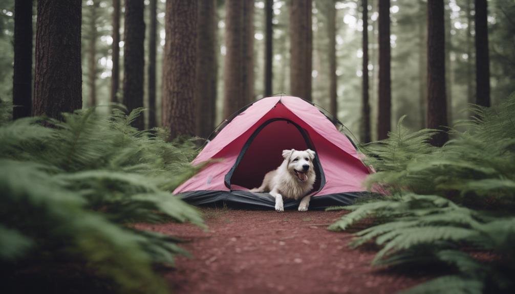
After ensuring your dog is leashed and safe on the trail, you might consider extending your adventure overnight, although Pink Beds Loop Trail doesn’t have a designated campground.
However, dispersed camping is permitted within Pisgah National Forest, giving you the flexibility to set up camp in less conventional but equally beautiful areas.
If you turn right on the loop, you’ll find a good spot for your tent on the cut-through trail or after the boardwalk on the hill. When you camp here, it’s important to follow specific rules and regulations designed to protect this lush environment.
Since there are no camping facilities on the trail, you’ll need to bring all necessary gear and supplies, including water, a tent, sleeping bags, and food storage containers to secure your provisions from wildlife.
Remember to leave no trace, maintaining the area’s natural beauty for fellow hikers and future visitors. Respecting the local wildlife is also crucial.
Ensure your camping activities don’t disrupt their natural habitats. By adhering to these guidelines, you’ll help preserve the pristine condition of Pink Beds Loop Trail for everyone to enjoy.
Biking Rules
Biking is permitted on most Pink Beds trails, with a few seasonal and location-specific restrictions to enhance safety and enjoyment for all users. You must be aware of these biking rules before you hit the trails.
You can enjoy biking here, but remember that biking is only allowed from October 15 to April 15 due to seasonal restrictions. This helps to protect the natural habitat during the more sensitive times of the year.
Additionally, while you’re allowed to bike over the boardwalks, which makes getting around the terrain easier, be cautious at river crossings. Biking is restricted in these areas to ensure everyone’s safety, particularly during wet conditions when the crossing can be slippery.
Here’s a quick guide to keep you in the loop:
| Trail Feature | Biking Allowed? | Notes |
|---|---|---|
| General Trails | Yes | Except for Barnett Branch Trail |
| Boardwalks | Yes | Designed for easy biking |
| River Crossings | No | Restricted for safety reasons |
Wildlife Encounters
As you explore the Pink Beds Loop Trail, watch for the elusive Bog Turtle and other unique wildlife that make this habitat their home.
Nestled in the expansive Pisgah National Forest, this trail is a haven for wildlife encounters that will enrich your hiking experience. The diverse flora and fauna offer breathtaking scenery and essential habitats for various species.
While you’re immersed in the natural beauty of the trail, you’ll likely spot a variety of bird species. From the musical calls of warblers to the sight of hawks soaring overhead, birdwatching here is a treat for any nature enthusiast.
Remember, these wildlife encounters are a privilege that comes with responsibilities. To aid in habitat preservation, you must stick to the designated paths. Straying off can disturb the delicate ecosystems and endanger the species that rely on them.
Photography Tips
To capture the vibrant beauty of Pink Beds Loop Trail with your pet, take advantage of the natural lighting, which enhances the landscape’s vivid colors.
Early morning or late afternoon light, known as the golden hours, provides a soft, diffused glow that can dramatically highlight the lush greens of mountain bogs and the bright hues of wildflowers along the trail.
Position your pet near these natural elements, using the picturesque backdrop of rushing creeks to add a sense of movement and life to your photos.
Experiment with different angles and perspectives to showcase your dog’s interaction with this scenic environment. Try shooting from a low angle to capture your pet exploring the expansive landscape stretching out behind.
This emphasizes their adventurous spirit and allows the unique ecosystem of Pink Beds to play a significant role in your composition. Don’t forget to showcase the bond between you and your furry companion.
Capture moments of you together, perhaps resting by a creek or walking along a flower-lined path, to convey the joy and companionship of your outdoor adventures. Share these special moments on social media with Bringfido to connect with other pet owners who appreciate nature’s beauty as much as you do.
Fishing Opportunities
If you want to relax, Pink Beds Loop Trail offers excellent fishing opportunities in its streams and creeks. Nestled in the scenic Pisgah National Forest, the area is rich with diverse aquatic life, making it a prime spot for anglers.
As you trek along the trail, you’ll find numerous accessible spots along the creeks and streams where you can cast your line. You’ll primarily encounter trout, bass, and sunfish in these waters. The trout are especially prevalent, thriving in the cool, clear waters of the forest streams.
It’s crucial to mention that fishing here isn’t just a matter of showing up with a rod; you’ll need to ensure you have the appropriate fishing license and know the local fishing regulations. These rules help maintain the ecological balance and ensure that fishing remains sustainable for years.
The serene surroundings provide a peaceful backdrop and enhance your fishing experience. The sounds of flowing water and rustling leaves create a perfect ambiance for unwinding.
Whether you’re a seasoned angler or trying it for the first time, fishing at Pink Beds Loop is a delightful way to connect with nature and enjoy a quiet, reflective pastime.
Picnic Reservations
You don’t need to make a reservation for picnic spots at Pink Beds Loop Trail, as they are available on a first-come, first-served basis. This makes planning a bit easier when you’re aiming to enjoy a day at Pisgah National Forest.
The picnic area is conveniently located, making it a perfect spot to relax before or after you tackle the scenic 5-mile loop trail with your furry friend. Since the spots are first-come, first-served, it’s wise to get there early, especially during the busier seasons.
This guarantees a prime place to spread your picnic and enjoy the natural beauty. Whether you’re looking to fuel up before a hike or unwind after, the picnic area provides a lovely backdrop.
Here’s a quick guide to help you plan:
| Feature | Description |
|---|---|
| Location | Accessible via the main trailhead |
| Availability | First-come, first-served; no reservation necessary |
| Best Time to Visit | Early morning or weekdays to avoid crowds |
Getting There
Accessing Pink Beds Loop Trail is straightforward when you drive north on Hwy 276 from Brevard, NC. As you travel, you’ll pass the iconic Ranger Station, a great point of reference and a spot where you can grab any last-minute information or use facilities.
Continuing north, you’ll also drive by the scenic Looking Glass Falls, one of the many beautiful sights along this route within Pisgah National Forest. After passing the Cradle of Forestry, which is well worth a stop for its historical significance and educational programs, you’ll soon reach the Pink Beds Recreation area.
The Pink Beds Loop Trail trailhead is conveniently located here. It’s a perfect starting point for hiking with your furry friend, offering ample parking and clear trail signage to guide your adventure.
If you’re coming from Hendersonville, NC, take Hwy 64 West to connect with Hwy 276 North. This equally scenic route merges smoothly onto Hwy 276, guiding you directly to the trail area.
No matter your starting point, reaching this dog-friendly hiking destination in Pisgah National Forest is a breeze. It will set you up for a day of natural beauty and exploration.
Weather Forecast
Before planning your hike at Pink Beds Loop, check the upcoming weather forecast to ensure a comfortable and safe outing with your dog. The weather in Pisgah National Forest can greatly impact your experience, and it’s important to be prepared for what’s ahead.
Here’s a detailed breakdown of the forecast for the next few days:
- Thursday, April 25: Expect a pleasant day with temperatures around 21 degrees Celsius and mostly sunny skies. This is an ideal condition for hiking, as the cool temperature and sunshine perfectly balance outdoor activities.
- Friday, April 26 and Saturday, April 27:
- On Friday, temperatures will drop slightly to 15 degrees Celsius, and showers will occur throughout the day. It’s advisable to pack waterproof gear and a raincoat for your dog.
- Saturday will slightly improve with temperatures rising to 19 degrees, although morning showers are expected. Starting your hike later in the day might allow you to avoid the wet weather.
- Sunday, April 28, and Monday, April 29: The weather improves significantly. Sunday is partly cloudy with a high of 23 degrees, leading into a mostly sunny Monday with temperatures peaking at 25 degrees. These days offer the best conditions for enjoying the trails with your furry friend.
Conclusion
As you plan your visit to the Pink Beds Loop in Pisgah National Forest, remember to keep your pup on a leash no longer than six feet. Enjoy the diverse ecosystems and wildlife, and respect nature by following the established dog policies.
Whether camping, biking, fishing, or picnicking, this trail offers something for everyone. Check the weather before you head out and have a safe, enjoyable hike, creating lasting memories with your furry friend in this stunning natural setting.
Discover More Articles:
11 Tips for Visiting Ashevilles Biltmore Estate
Discover Glass Pebble Beach: Nature’s Shimmering Masterpiece
Best USA Mother Daughter Getaways: Unforgettable Bonding Trips
